

The ruins of Cojitambo is an archaeological zone of 25 hectares of Inca Cañaris origin. The area was inhabited during the Regional Development Period, the Integration Period and the Inca Period. The ruins were inhabited between 500 BCE and 1532 CE.
The ruins are evidence of the Inca presence, as the construction has a solid base of blocks, one on top of the other, glued with black earth mortar and masonry filling. In fact the Inca trail passes through the base of Cerro de Cojitambo. It is believed that it was an Inca settlement, destined to serve as a tambo on the Cápac Ñan route that linked it with other important Inca centers such as Ingapirca and Tomebamba.
To access the ruins, you must park your car at the base of the hill and walk up a path until you reach the top of the hill. Once you see the ruins you can go to its terrace by a staircase. In the ruins you will also find a square room with several trapezoidal niches.
Where are the Cojitambo ruins located?
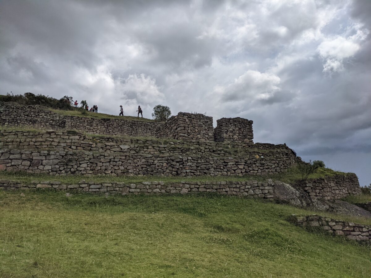

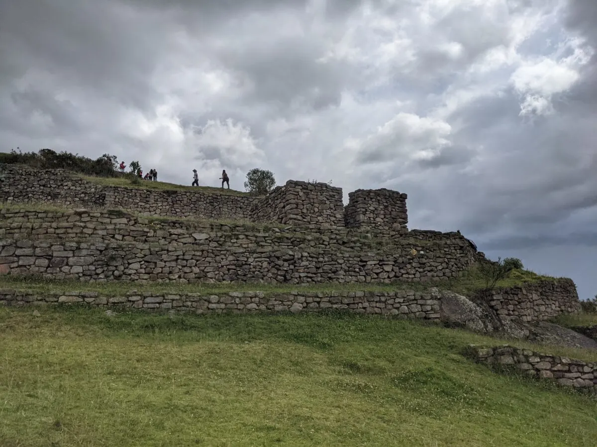

The archaeological site of Cojitambo is located 9 kilometers from Azogues, in the province of Cañar, Ecuador on the hill of the town of the same name. The ruins are located at 3,076 meters above sea level.
Directions to get to Cojitambo?
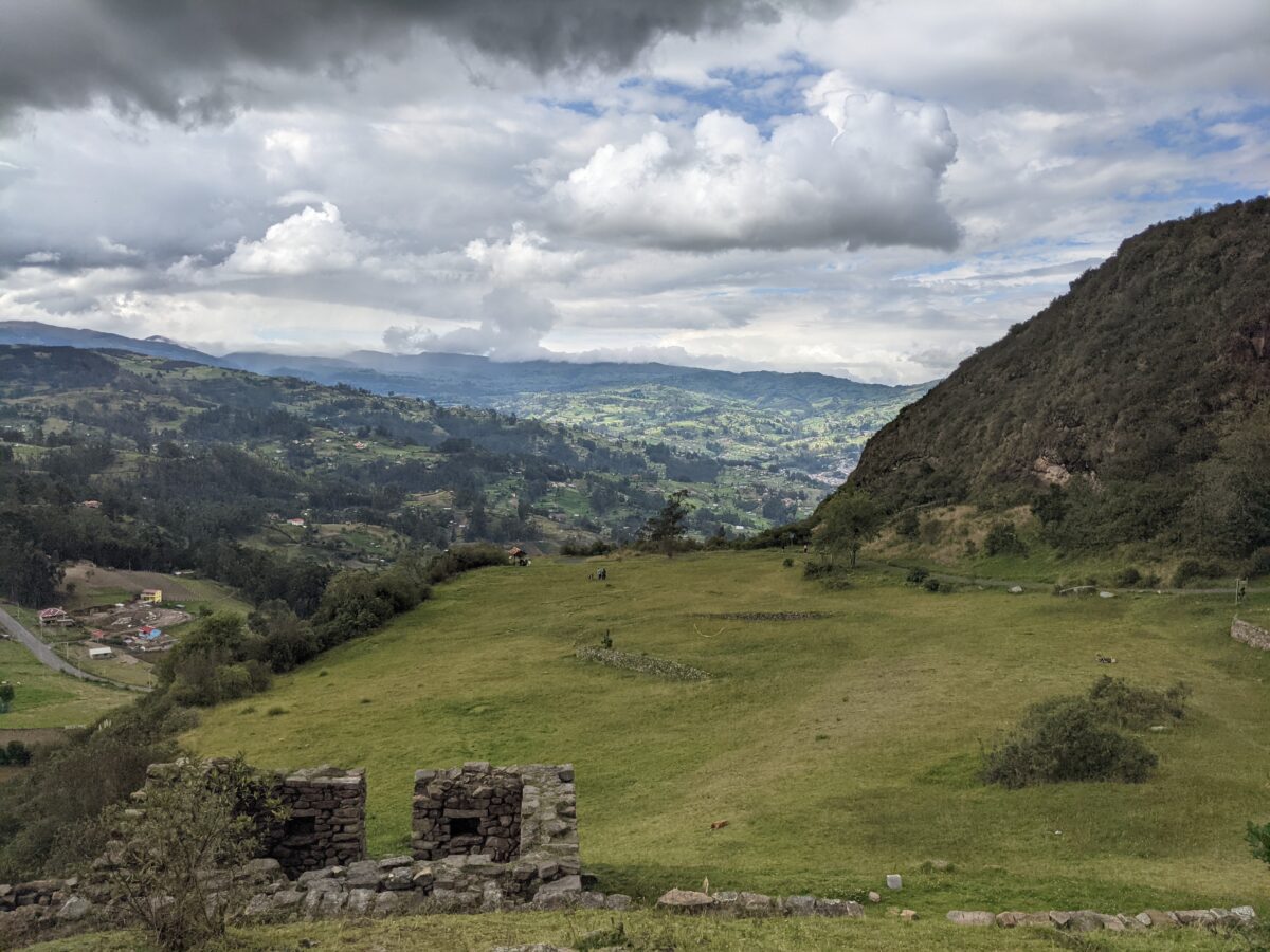

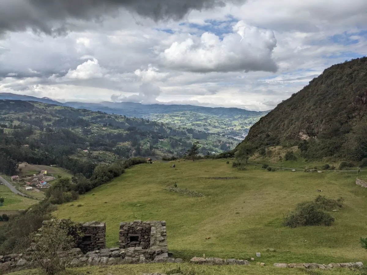

You can take a bus from Azogues on the Cooperativa de Transportes Panamericano and take the route that goes Azogues-Cojitambo-Déleg. This bus leaves every 15 minutes. It takes approximately half an hour to reach the base of the hill. The cost of the ticket is $0.45 USD.
If you go in your own car, drive for 12 kilometers on the Azogues – Cuenca/Carr road. Panamericana/Troncal de la Sierra/E35/E40 until you reach the archaeological complex.
What is the weather like at the Cojitambo ruins?
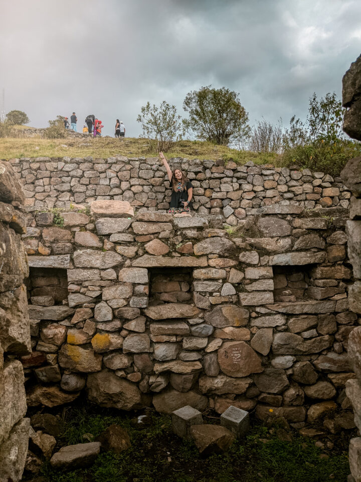

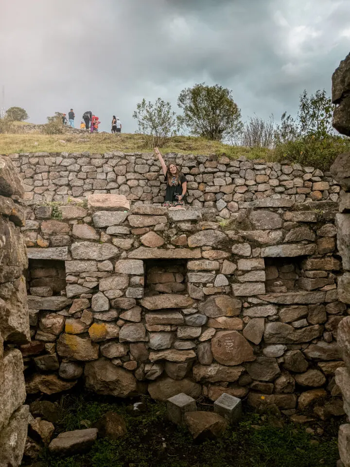

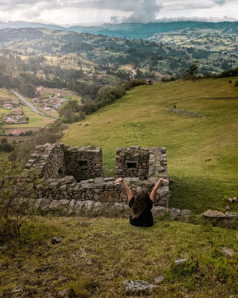

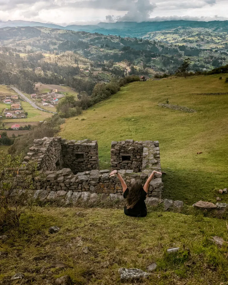

The temperature in the archaeological zone of Cojitambo ranges between 12° and 22°C.
What activities can you do at the ruins of Cojitambo?
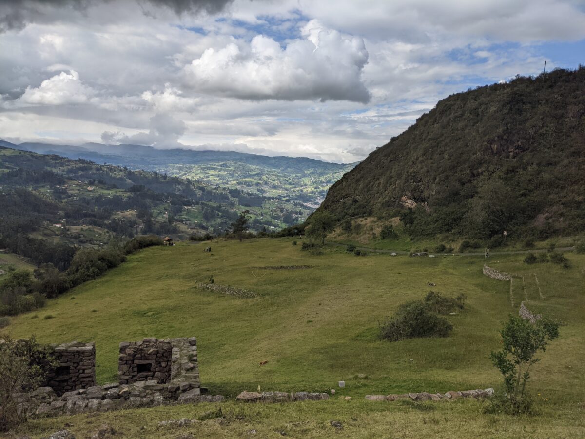

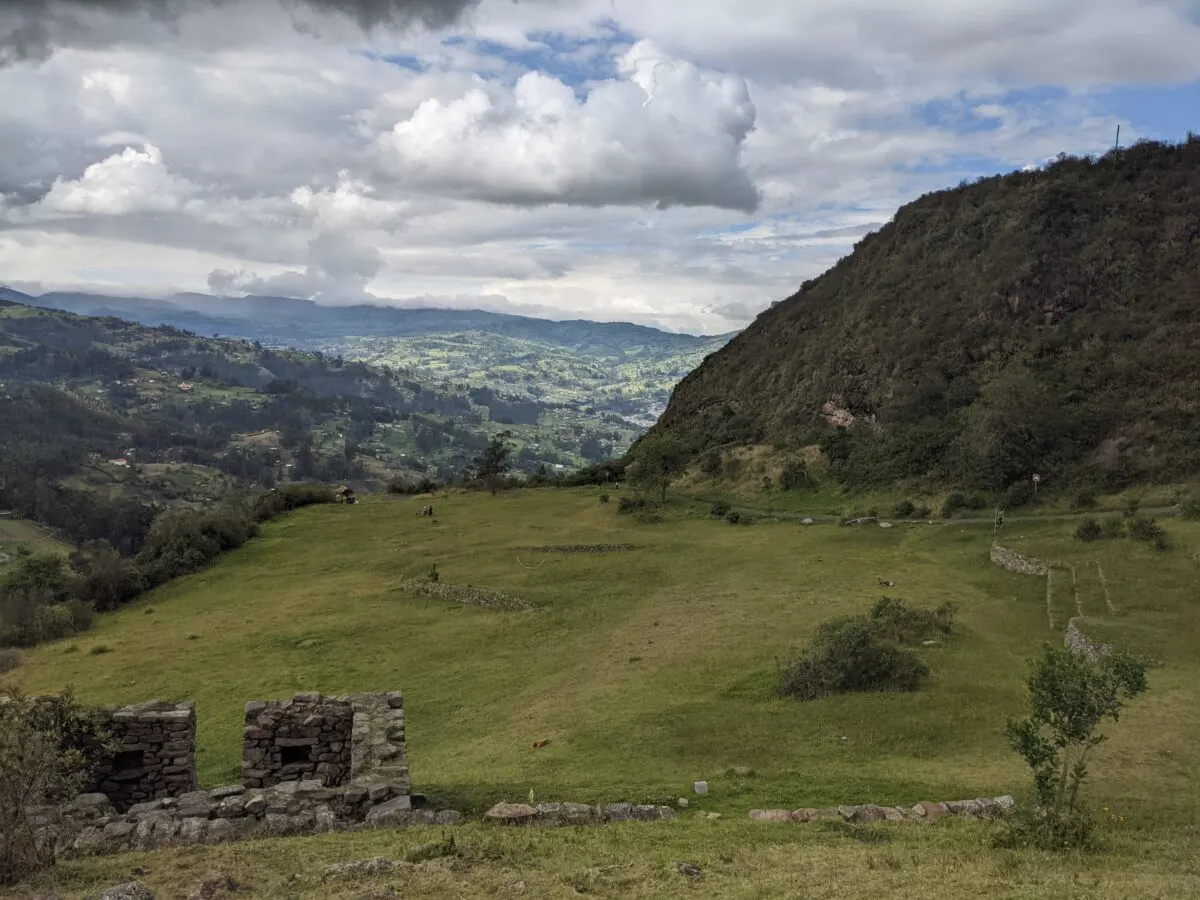

You can learn about the culture and history of the Cañari people and the Incas. You can also enjoy a spectacular panoramic view, the fauna and flora of the area as well as go hiking, take photography and go camping. This region is also known for being an excellent place for extreme sports such as rappelling and climbing.
Layout of the Cojitambo Archaeological Complex


Thanks to the extension of the place and the complexity of its constructions, it is possible to identify various architectural ruins across the complex.
• Set I: It is a central square in the shape of a “U” which has open round corners that point to the east. The set is built by walls that are 1.80 meters high by 1.53 meters thick, inside there is an oval-shaped water well lined with stone that measures 2.20 meters high by 1.80 meters in diameter.
• Set II: Located to the east of the square, it has a large terrace full of rooms, with a retaining wall, along with two other platforms with retaining walls at the bottom.
• Set III: Inside lies a rectangular structure with two sectors, 6 platforms with retaining walls, 5 underground, 4 stairways and a space delimited by a curved wall.
All these sets, which are complemented by other vestiges of a military and religious nature, are articulated with the Inca trail that passes through the base of the hill, and that in aboriginal times communicated with the old Tomebamba.
